Tesla Strategy: Building Internal Maps for Self-Driving
The electric vehicle maker is developing its own navigation data to address persistent errors in its Full Self-Driving software.
By Christopher Reed ·
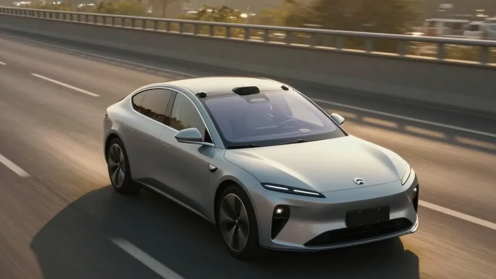
Tesla has long prided itself on a vision-only approach to autonomous driving, but the company is now developing its own mapping tools to correct common software errors. This announcement marks a significant pivot from the stance held by leadership for the past several years.
During the Q3 2026 earnings call, Ashok Elluswamy, the head of AI, confirmed that the team is constructing a new mapping architecture. This system will rely on data collected from the existing fleet of vehicles. The goal is to stop relying on third-party navigation providers for critical driving information. Elluswamy noted that the company should not depend on external maps for such fundamental tasks.
The timeline for this rollout is already set. The new technology will begin managing the start and end of trips with the upcoming FSD v15 release. Over the next several months, the system will expand its role to handle navigation, parking, and destination selection. This gradual integration aims to smooth out the current frustrations drivers face with route planning and speed limit recognition.
This shift contradicts previous public statements made by Elon Musk. In 2019, during an Autonomy Day presentation, he dismissed high-precision maps as a brittle solution. He argued that relying on them made self-driving systems fragile, a view that aligned with his skepticism of lidar technology. At the time, the message was that cameras and artificial intelligence were sufficient for driving anywhere.
However, real-world performance has highlighted specific weaknesses. Recent tests in Brussels showed that FSD vehicles often exceeded speed limits in low-speed zones. The system frequently misread signs, leading to higher average speeds than required. In the United States, the NHTSA is considering an investigation into similar speeding issues in school zones. These incidents suggest that vision alone is not always enough to interpret simple road data accurately.
The new approach mirrors the methodology used by competitors like Waymo. Both companies use their fleets to gather data and build detailed environmental maps. While Tesla does not use lidar, the underlying concept of fleet-based mapping is similar. This strategy supports the company's current robotaxi operations, which run within specific geofenced areas. It represents a practical adjustment to ensure the vehicle understands its surroundings better.
For drivers in New England and elsewhere, this development signals a maturation of the software. The focus is now on fixing basic navigation errors rather than pursuing a purely theoretical vision-based model. As the map layer grows more detailed, it may reduce the need for human intervention in complex driving scenarios. This change reflects a broader industry trend toward combining multiple data sources for safer autonomous travel.
Source: Electrek